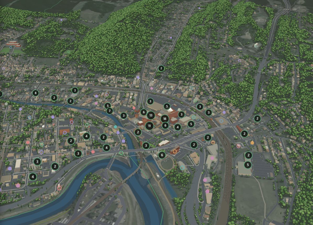
Cumberland 3D Map
Cumberland in 3D, built from real terrain, aerial photos and building outlines. Fly over downtown, search nearly 400 local places and turn map layers on and off.
Next: more detail, and live information from Allegany AI.


MilePost Technology is a local startup. We're building 3D maps of Cumberland and Allegany AI, a system that keeps track of everything happening in the city, so people, businesses and planners here can see their town clearly.
Each map is its own project, built for a different job. Allegany AI keeps the information behind them current.
Cumberland in 3D, built from real terrain, aerial photos and building outlines. Fly over downtown, search nearly 400 local places and turn map layers on and off.
Next: more detail, and live information from Allegany AI.
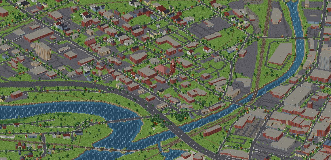
The city as isometric pixel art, street by street. Downtown comes first.
A precise 3D wireframe of Cumberland for city planners, with accurate building shapes and every road and highway clearly marked.
Illustration. Screenshots come when the first area is finished.
Our project for everything Cumberland. Allegany AI keeps up with the city: local businesses, what's happening, housing, the economy and more. It runs on our own local AI model, keeps our maps up to date, and will get a site of its own.
Coming: The Allegany Signal, a weekly and daily brief on what's going on in Cumberland.
Everything starts with open data about Allegany County and ends as something people can look at and use.
Terrain, aerial photos, property records, census and flood maps for the county.
Reads it all, keeps it current and turns it into clean map layers.
3D, pixel and wireframe views of Cumberland, each built for a different job.
The Allegany AI site and The Allegany Signal share what matters with the public.
In 1811 the National Road, the country's first federal highway, set out west from Cumberland, and mileposts marked every mile of the way. The C&O Canal ends here, and the Great Allegheny Passage starts here.
MilePost Technology is based here for the same reason. We want Cumberland to be a starting point for AI, too, with tools built by people who live here.
Working on something in Allegany County that could use a map or an AI system? We'd like to hear about it.